Planet’s decision to withhold conflict-zone imagery at Washington’s request is not just a wartime footnote. It is a revealing test of how much public accountability the commercial Earth-observation market can preserve once its data becomes tactically useful, politically sensitive and commercially concentrated.
On April 4, Planet Labs said it would indefinitely withhold imagery of Iran and the wider conflict region in the Middle East after a request from the U.S. government, expanding an earlier 14-day delay and backdating the restriction to March 9. The company said images could still be released on a case-by-case basis for urgent or public-interest needs. In narrow military terms, the logic is understandable: near-real-time commercial imagery can reveal damage, movement and vulnerability in ways that may help adversaries. But the harder question is the one the space industry now has to confront directly: what happens when a transparency tool that markets itself as global, commercial and broadly useful becomes selectively unavailable precisely when public scrutiny matters most?
A commercial platform, not a fringe vendor
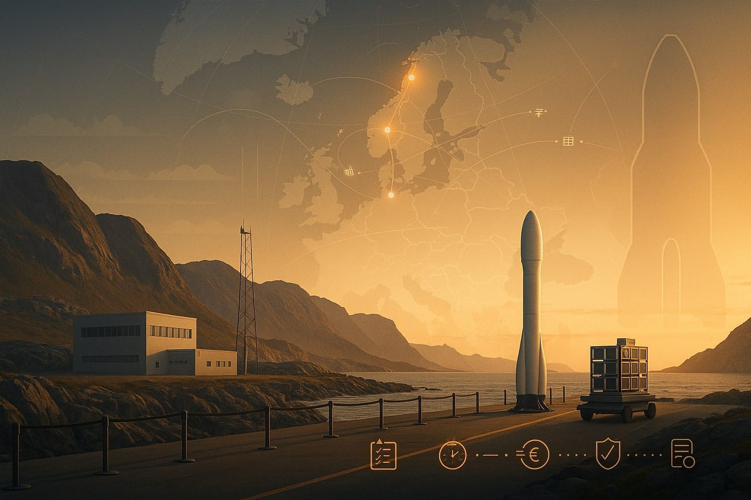
This matters because Planet is not a marginal supplier. By its own account, it operates roughly 200 Earth-imaging satellites and images the world’s landmass daily. In fiscal 2026, it reported record revenue of $307.7 million, said 98% of annual contract value was recurring, and finished the year with more than $900 million in backlog. Its filings also state that an increasing and meaningful share of revenue comes from U.S. government and other government customers. In other words, this is not a small startup making an isolated editorial choice. It is one of the most scaled, financially relevant and operationally embedded companies in commercial Earth observation.
That scale matters because the Earth-observation market is no longer a boutique corner of space. The OECD noted in February that the U.S. Geological Survey had identified about 472 Earth-observation satellites in orbit in 2024, including 270 operated by private firms, and that imagery quality and accessibility are improving fast as launch costs fall and sensors get better. What used to sit mostly inside governments now sits in a hybrid market: partly public, partly commercial, increasingly global, and ever more relevant to investors, insurers, militaries, journalists and humanitarian groups.
The public uses these images too
That is why the Planet decision is not only a defense story. Commercial imagery has quietly become part of the modern public-information stack. The OECD notes that journalists now routinely use satellite imagery, that media organizations increasingly work with commercial providers, and that satellite data is also used by conservation groups and human-rights investigators. Reuters’ own March photo collections on the Iran conflict leaned heavily on commercial imagery to show damage at places such as Bandar Abbas, Konarak, Natanz and Fujairah. Space.com also highlighted concerns that restricting access cuts off a tool that has been used not only to track military damage, but also to clarify strikes on civilian sites and assess humanitarian consequences.
That shift is easy to miss because no law says commercial imagery is a public utility. Yet in practice it has started to behave like one. When reporters, researchers and civil-society groups use the same imagery market that governments and hedge funds use, orbital data becomes more than a product. It becomes part of how the outside world verifies claims, tests official narratives and documents what happened after the missiles land. The deeper issue raised by Planet’s move is not simply whether one company should have complied. It is whether the commercial space sector has drifted into a role of public consequence without developing governance norms that match that role.
Washington had been moving toward fewer restrictions
The policy backdrop makes the episode more striking. In 2020, the Office of Space Commerce presented new remote-sensing rules as a modernization effort designed to reduce red tape, eliminate most operating restrictions, and force the U.S. government to look first at what data was already available in the market before burdening U.S. licensees. The agency said the rules would also bar the government from adding new conditions after a license had been issued, except through narrow procedures. The message to industry was clear: America wanted its firms to move faster, compete harder and lead globally in commercial remote sensing.
NOAA’s follow-through reinforced that direction. In 2023, the Office of Space Commerce said it had removed 39 temporary Tier 3 conditions from top-end remote-sensing licenses, described the new system as one that shifted more of the national-security burden from companies to the government, and said average license-processing times had fallen from 48 days in 2020 to 14 days. This was the arc of policy: less friction, fewer standing restrictions, more market responsiveness. Against that backdrop, Planet’s Iran freeze does not look like business as usual. It looks like a reminder that liberalization in peacetime can coexist with abrupt contraction in crisis.
Soft power may matter as much as hard law
To be fair, the emergency levers never disappeared. The current rules and the interagency memorandum behind them plainly allow the government to require companies to temporarily limit collection or distribution during periods of heightened national-security concern or foreign-policy risk. They also say such limits should cover the smallest feasible area for the shortest feasible period, and that alternatives to outright prohibitions should be considered, including delays, quality restrictions, narrower fields of view or other controlled-access mechanisms. So the legal architecture for interruption exists.
But the Planet case points to something subtler and, in some ways, more important. Public reporting describes a government request, not a public legal order. Yet the practical outcome is still a broad and indefinite access restriction. One plausible reading is that in today’s Earth-observation market, formal compulsion may not always be necessary. When the same state is simultaneously the licensor, the national-security arbiter and an increasingly important customer, a request can carry a weight not far from instruction. That is partly an inference, but it is a grounded one given Planet’s own disclosure that government business has become a more meaningful revenue stream.

This is not the first restriction, but it may be a bigger precedent
The United States has a history of geographically specific imagery controls. The best-known example is the Kyl-Bingaman regime over Israel, under which U.S.-licensed firms could only sell imagery at a level of detail no better than what was available from foreign commercial providers. In 2020, Commerce relaxed that cap from 2.0 meters to 0.4 meters because non-U.S. supply had made the old restriction obsolete. A government briefing on shutter control also described only one real-world instantiation of what it called “checkbook shutter control,” during Operation Enduring Freedom. That history matters because it shows two things at once: imagery restrictions are not new, but durable opacity becomes much harder once foreign competition widens.
What feels different now is scale and normalization. This is not a single-country resolution cap set by statute and recalibrated over time. Nor is it an obscure procurement workaround from an earlier war. It is a large commercial provider in a liberalized market moving a broad conflict region into managed access during an active crisis. Space.com reported concern that the move could create a damaging precedent for transparency. That concern deserves to be taken seriously, not because governments have no legitimate security interests, but because precedents in commercial infrastructure rarely stay confined to one theater or one company for long.
Open public data still matters, but it is not a full substitute
None of this means the world is suddenly blind. Public Earth-observation systems remain essential. USGS says Landsat data has been available at no cost since 2008, while NASA says all Landsat data is free and open and estimates the program delivered $25.6 billion in economic value to the U.S. economy in 2023 alone. Europe’s Copernicus Data Space Ecosystem likewise describes itself as an open system that provides free instant access to a broad range of Sentinel and related Earth-observation data. Public and commercial providers, as the OECD notes, complement each other.
But complement is not the same as substitute. The market did not build companies like Planet around the proposition that public archives were enough. It built them around higher revisit rates, easier access, operational workflows and a commercial promise of usable, timely visibility. That is why a managed-access restriction matters even in a world with Landsat and Copernicus. When the commercial layer narrows, the public does not lose all vision. It loses speed, granularity and, often, equality of access. The people with the strongest institutional ties may still see plenty. Everyone else sees less, later and through a thicker fog.
The real policy question starts now
The right takeaway is not that Planet is uniquely at fault, or that states should ignore wartime intelligence risks. The more uncomfortable truth is that commercial Earth observation increasingly resembles other private infrastructures with public consequences: cloud computing, undersea cables, semiconductor fabs, mobile networks. These are nominally commercial systems that become politically charged the moment a crisis exposes who actually controls access. Earth-observation firms have spent the past decade arguing, correctly, that their data is economically valuable, operationally indispensable and strategically important. That case has now become strong enough that the sector may have to accept the governance burden that comes with it.
That means policymakers and industry should be asking harder questions than whether this one restriction was justified. What disclosure standard should apply when governments request commercial imagery limits? How should “public interest” exceptions be defined, reviewed and audited? Should there be after-action transparency once a crisis passes? And if commercial orbital data is now part of how democracies verify war, disaster and state violence, should access controls remain largely opaque until after the fact? The risk is not one Iran-related freeze by one company. The larger risk is the quiet normalization of managed visibility: a world in which the Earth can be watched from orbit every day, until watching becomes inconvenient.